

Map men map men map map map
men men… men
“Place at the unfordable river” has become “place at the unaffordable river” I see
“Land of the fellow countrymen”
… ok, so what does that imply?
That some foreigners had taken a piece of land and cut-off this area from their kinfolk?
My guess would be that this is were there are still fellow countrymen short before where the Sc*ttish live
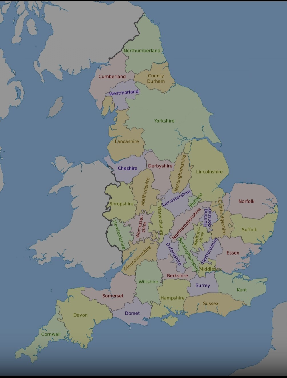
reference for the uninitiated like me ☞ https://en.wikipedia.org/wiki/Counties_of_England
This is the one that matches OP’s map:
https://en.m.wikipedia.org/wiki/Ceremonial_counties_of_England
it’s strange to see that, Cornwall means horn of the foreigners or Britons and that the Britons were considered as foreigners on their ancestral lands 🤷
The names “Wales” and “Welsh” are modern descendants of the Anglo-Saxon word wealh, a descendant of the Proto-Germanic word walhaz, which was derived from the name of the Gaulish people known to the Romans as Volcae and which came to refer indiscriminately to inhabitants of the Roman Empire. The Old English-speaking Anglo-Saxons came to use the term to refer to the Britons in particular. As the Britons’ territories shrank, the term came ultimately to be applied to a smaller group of people, and the plural form of Wealh, Wēalas, evolved into the name for the territory that best maintained cultural continuity with pre-Anglo-Saxon Britain: Wales.
For those wondering why these borders don’t match up: England’s county system is actually the butchered remains of several iterations stitched together in a manner that would appal Dr Frankenstein. This image shows the historic counties, but those basically only exist for cultural reasons today and have not been used for governance since the 70s. They don’t quite match the post - see, for example, Yorkshire being one massive thing in this image but split into four in the post. Even though one of the four is called “east third”. The post’s border also don’t match the modern counties though, so I’m not quite sure what exactly is being shown, but it could be older borders or just whichever borders had the most interesting set of names
The West Midlands is stolen land !
So Cheshire is “chest shire”
Wait bright ones is Kent? What kind of shit is that?
Sincerely,
Someone from Kent.
Maybe because we get like 5 sunny days a year compared to the 2 they get up north?
well, you’re not wrong.
Feeling kinda dorceless about some of these names.
“So it’s agreed, we’re all parts of the shire of the place of yew trees”
North: aye
South: sure
West: sounds good
East: but what if we tried to be more precise (accuracy be damned apparently)
…
West: you’ve been hanging out with the boob hill people, haven’t you?
west midlands
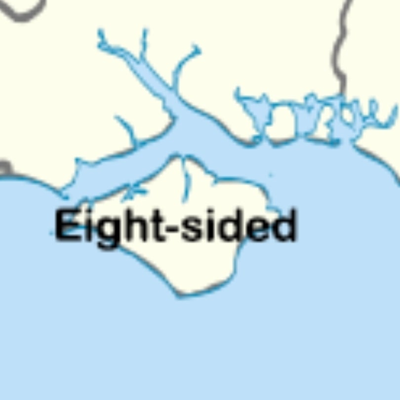
8 sides?
Cracking English map, Gromit!
Hm, I guess it is not a straight forward way to define a map like this that work for every county. But take Yorkshire for example. York is after Jore, or Jorvik, which means Horse, or horsebay. But before that it had other names, and the founding name by the romans was Eboracum, celtic borrowed phrase for yew tree place. But as I understand it, it is not really etymologially connected “yew tree” and “york”. Or?
Man, imagine if you were one of the ‘Bright Ones’, and you were trekking up to see the ‘New Castle’, and you’d heard it was in the land ‘north of the Humber’, and thought “can’t be much further now” when you got the The Humber.
Back durong the Heptarchy pretty much everything north of the Humber was the Kingdom of Northumbria. The Danes took the southern half of the Kingdowm, leaving a Northumbria rump state over the approximate location of modern day Northumberland/Tyne and Wear.
Shire of the town of the people of the winding river sauce
(Worcestershire sauce)
North People kind of triggers me.
That one is basically still understandable in modern English too
The north folk and the south folk.


