
- cross-posted to:
- technologie@jlai.lu
- openstreetmap@lemmy.ml
Is this what Komoot uses?
I’ve been so impressed with the pathways etc, it’s amazing
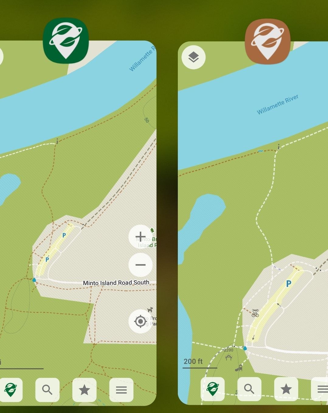
Komoot uses openstreetmap, yes. Organic maps is a different client for openstreetmap.
Doesn’t do bus routes. Guess I’m still stuck with Google.
Bus routes should be there. But it does not do routing for buses if that is what you are after?
Yeah, basically. The most useful thing Google Maps does is work out which buses and transfers you have to take to get between one location and another, and until I can find a replacement for that I’m stuck with it.
Which country are you in? In Germany the DB navigator does that much better than google.
I wish Organic Maps had up-to-date maps. If there is any possibility for that please let me know!
Define “up-to-date”?
What are some reasons as to why I would want to use this over, say, OSMAnd?
I use both all the time. Organic Maps rendering and navigation feels snappier, even with 2.5D support, and less cluttered, but since I do contribute to OpenStreetMap, OsmAnd is unmatched for editing and access to power tools like up-to-date data, GPS tracking, PDI editions, etc.
Unfortunately, in my country the map is not as complete as the proprietary options, so, using OsmAnd is more practical for me. As a regular user, though, I’d prefer Organic Maps.
@selokichtli @warm Ever used #StreetComplete?
f-droid.org/de/packages/de.wes…
It is really helpfull If you wish enhancing OSM
I actually have used it. It’s very thorough but I find out more useful for areas where mapping is already good, while the areas I contribute to are not as well mapped. Every Door is also a great tool!
@selokichtli
Streetcomplete meanwhile has an overlay for POIs also.
This Overlay is may not that detailed but after you placed a new poi the streetcomplete usual feature ask for details.